
07 Aug 2026
Dong Van Karst Plateau: A UNESCO Geopark Guide for Loop Riders
Dong VanUNESCO GeoparkHa Giang LoopMa Pi LengTravel Guide
Most people book the Ha Giang Loop for the road. Then, somewhere past Yen Minh, the hills turn grey, corn grows out of cracks in bare rock, and they realise the road was only the way in. That grey country is the Dong Van Karst Plateau, Vietnam's first UNESCO Global Geopark.
We ride across it all year, and riders who know a little about the plateau enjoy it more. So here is our honest guide: what the geopark is, where to stop, when to come, and how to ride it safely.
Dong Van Karst Plateau at a glance
- Status: UNESCO Global Geopark, the first recognised in Vietnam
- Location: the four northern districts of Ha Giang (Quan Ba, Yen Minh, Dong Van and Meo Vac), now part of Tuyen Quang Province
- People: the H'mong are the largest group, alongside Dao, Tay, Lo Lo, Giay, Nung, Bo Y, Pu Peo and Co Lao communities
- Famous spots: Ma Pi Leng Pass, the Nho Que River and Tu San canyon, Dong Van Old Quarter, Lung Cu flag tower
- Time needed: three or four days by motorbike
Why UNESCO listed the plateau
Karst is what happens when water meets limestone over a very long time. Limestone is old sea bed, shells and corals compacted into rock and pushed upward when continents collided. Rain is slightly acidic and eats into it along every crack, and the result is what you see from Ma Pi Leng: knife-edged ridges, deep gorges, dry valleys and caves underneath all of it.
What sets Dong Van apart is how much of that history is on display. Rock layers here span several geological periods, fossils of sea creatures turn up in cliffs far above any coastline, and the boundaries between layers record moments when life on Earth changed dramatically. UNESCO also looks for places where geology and living cultures are tied together, and up here nobody farms stone unless the stone is home.
Where the geopark is
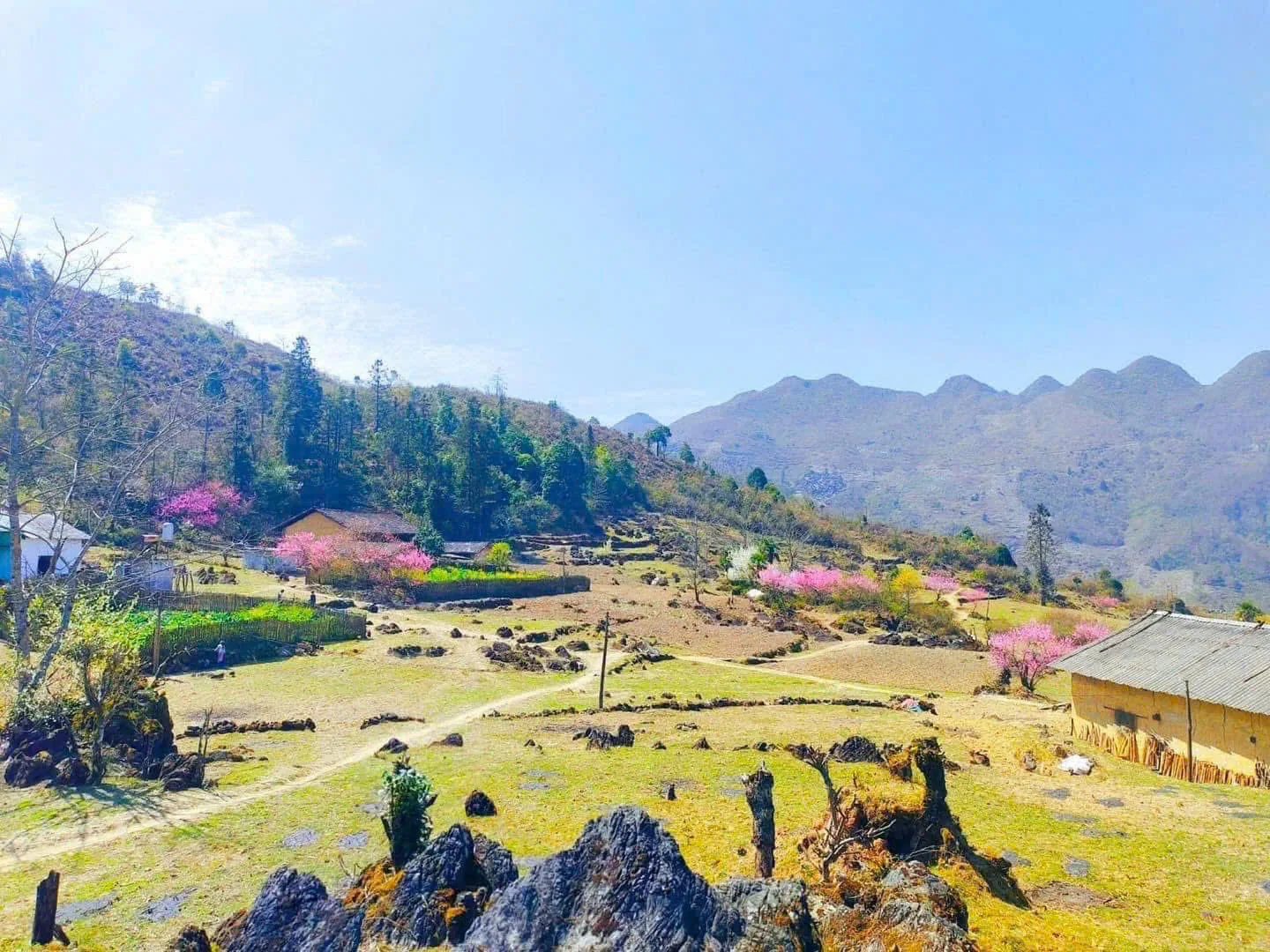
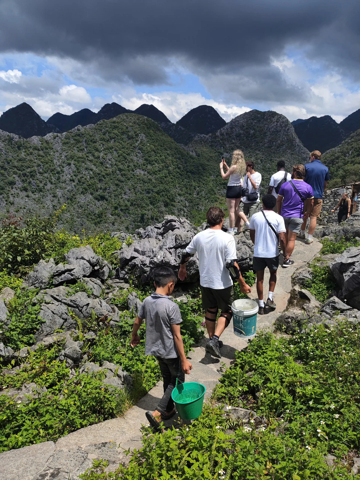
Ha Giang city sits in a low river valley. The plateau begins roughly 45 km north, once you have climbed Bac Sum Pass and passed Quan Ba Heaven Gate, and stretches all the way to the Chinese border. You feel the change on the bike: south of Yen Minh the valleys are green and full of rice, but north of Tham Ma Pass the soil thins, terraces give way to stone walls, and corn is planted in pockets of earth between boulders.
The stops we never skip
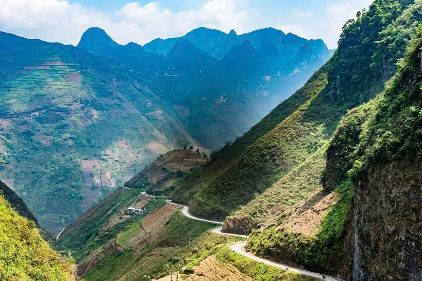
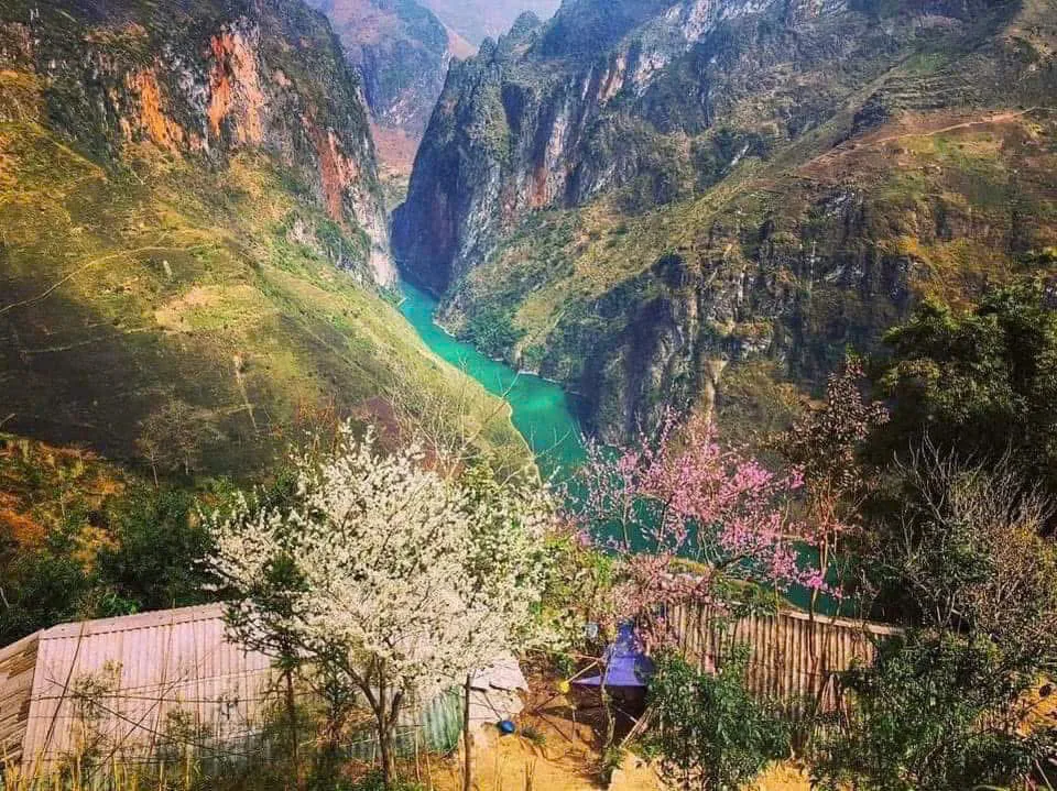
Ma Pi Leng Pass. Around 20 km of road cut into the cliff between Dong Van and Meo Vac, part of the Happiness Road built largely by hand in the early 1960s. Below it the Nho Que River runs jade green through Tu San, one of the deepest gorges in Southeast Asia. We ride it slowly and stop more than once, because the light changes every few minutes.
Nho Que River. Boats run into the canyon from below the pass. Our 3-day and 4-day Loops also meet the water from the quieter side, with bamboo rafting on the Hangtham Lin River between Du Gia and Dong Van.
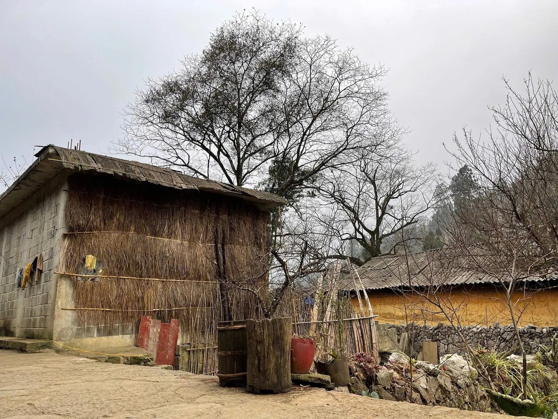
Dong Van Old Quarter. Century-old stone and timber houses around a small square, best on Sunday market morning when H'mong, Dao and Lo Lo families come down from the hills.
Lung Cu flag tower. The northernmost point of Vietnam, with a view over the border and the Lo Lo Chai village at its foot. Our 4-day Loop gives it a full morning.
Tham Ma Pass and the Moon Surface. The stacked hairpins of Tham Ma are the classic Loop photo, and the bare karst field north of Dong Van that locals call the Moon Surface is the plateau with nothing growing on it at all.
Living on stone
The geopark is not a park in the usual sense. Hundreds of thousands of people live inside it, and most of them farm. The H'mong way of working the land, carrying soil in baskets to fill hollows in the rock and growing corn where there is barely any earth, is one of the most impressive things on the whole Loop. You will also meet Lo Lo people around Lung Cu, Tay families near Du Gia and Dao villages on the higher slopes, each with its own dress, language and market day. The hemp weavers of Lung Tam, where our 4-day Loop stops on the last morning, still make cloth the way their grandmothers did.
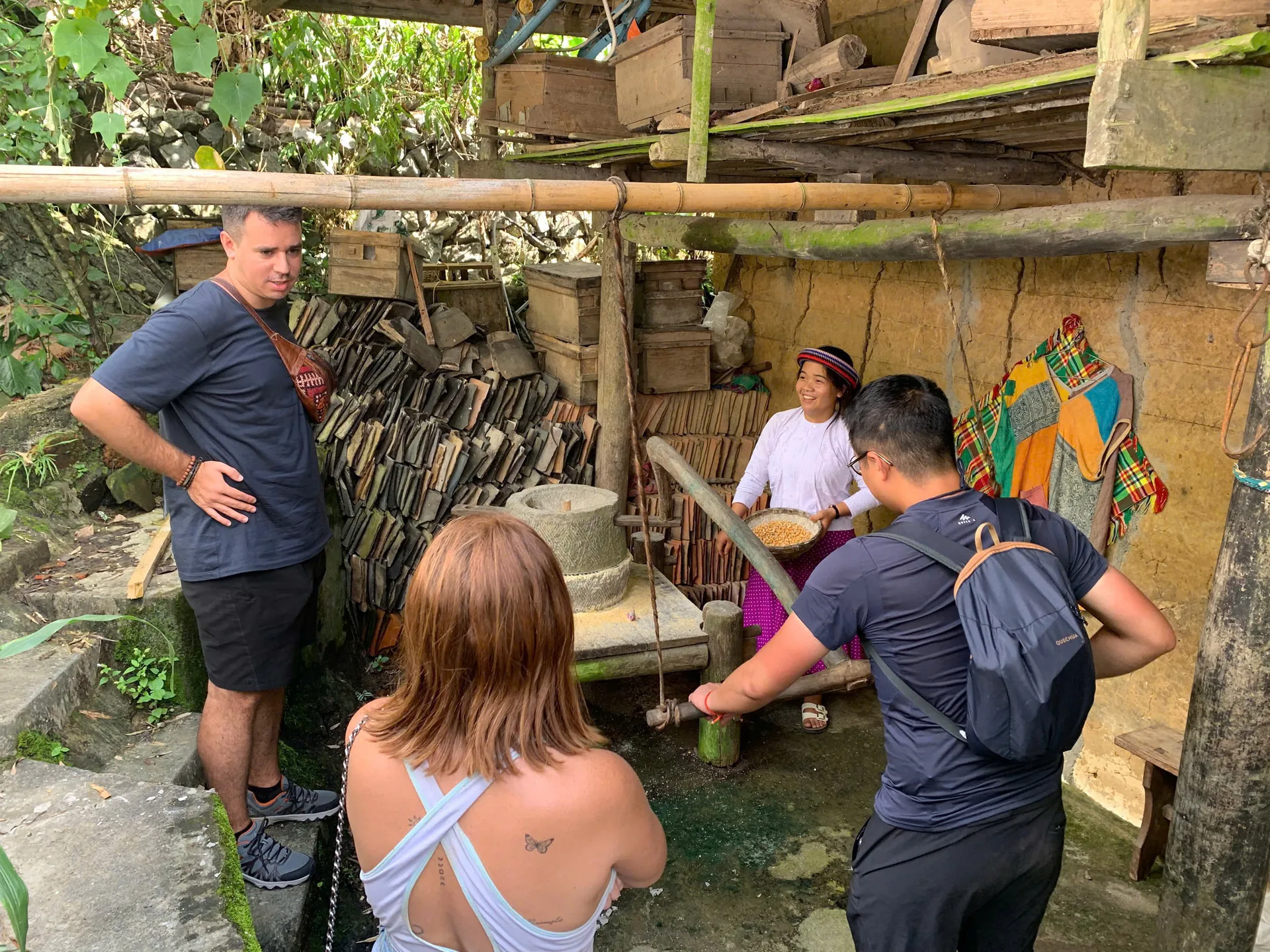
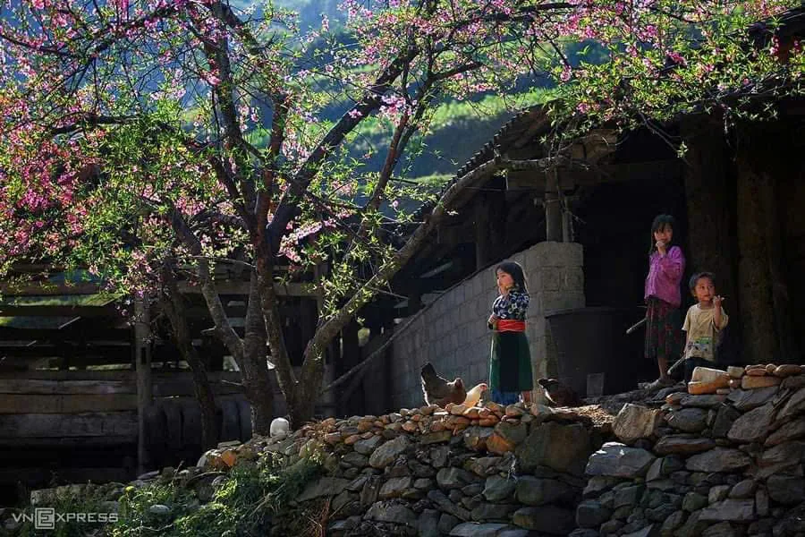
A few things we ask of everyone who rides with us: ask before you photograph people, stay out of fields and houses unless invited, and buy something at the market if you have spent an hour looking around it. Our guides grew up in these mountains and will introduce you, translate, and tell you when a family would rather not be filmed.
When to come
Spring (February to April). Peach and plum blossom around Tet, then fresh green and mild days, with fog on the passes some mornings.
Summer (May to August). Wet and hot. Everything is green and the rivers are full, but afternoon storms make the road slippery. Every rider gets a proper rain coat and we adjust the plan when the weather turns.
Autumn (September to November). Our favourite: clear skies, ripening rice near Du Gia in September, and buckwheat flowers colouring the plateau pink and white from mid-October. It is the busiest season, so book ahead.
Winter (December to January). Cold, sometimes only a few degrees above freezing on the high passes, with fog that can swallow Ma Pi Leng for an hour and then lift completely. Quiet roads, dramatic light, bring layers.
Whatever the month, mountain weather moves faster than any forecast, which is one reason we keep groups small.
How the plateau fits into the Loop
The Loop is a circuit from Ha Giang city through the geopark and back, and the plateau is its heart. Our three Loops:
- 2 days / 1 night (Easy Rider, 3.800.000₫). Quan Ba, Yen Minh, Tham Ma and Dong Van on day one; Ma Pi Leng, Meo Vac and Sa Li Pass home on day two. Two long days, all the headline views.
- 3 days / 2 nights (from 3.050.000₫). The quiet Du Gia side with a waterfall swim and a Tay homestay, then rafting, Nho Que and Ma Pi Leng to a H'mong homestay in Dong Van, then home over the Moon Surface and Tham Ma.
- 4 days / 3 nights (from 3.850.000₫). The same route plus a full day for Lung Cu, Lo Lo Chai and the Lao Xa ancient house, and a gentler last day through Lung Tam and Lung Khuy cave.
Three days covers the plateau well. Four is how we would do it ourselves: more time at every viewpoint and a buffer for weather.
Easy Rider, ride yourself, or share a bike?
We run motorbike tours only, in three ways.
Easy Rider. You sit behind one of our local drivers, who rides these passes for a living. No licence, no experience, no navigating. This is what we recommend for most first-time visitors and anyone without the correct licence.
Ride yourself. You need an International Driving Permit under the 1968 convention with category A or A1, together with your national motorcycle licence. Police on the Loop check both, and many travel insurance policies will not cover you without them. You also need real mountain experience: Ma Pi Leng is not the place to learn a wet hairpin.
Seat behind a friend. Travelling with someone who has the licence and the skills? Share their bike and pay only the seat-behind price.
Every option includes the same English-speaking guide, homestays, three meals a day, helmet, protective gear, rain coat, entry tickets and travel insurance, with pick-up from Hanoi, Sapa, Ninh Binh, Cat Ba or Ha Long.
Leaving the plateau as we found it
We do not have a grand sustainability programme to advertise. What we do is smaller and, we think, more honest. We keep groups small so we never overwhelm a village. We sleep in family homestays and eat what the family cooks, so the money stays with the people who live on the rock. And we stop at fewer places for longer, which means more time to actually talk to someone.
Riding safely and respectfully
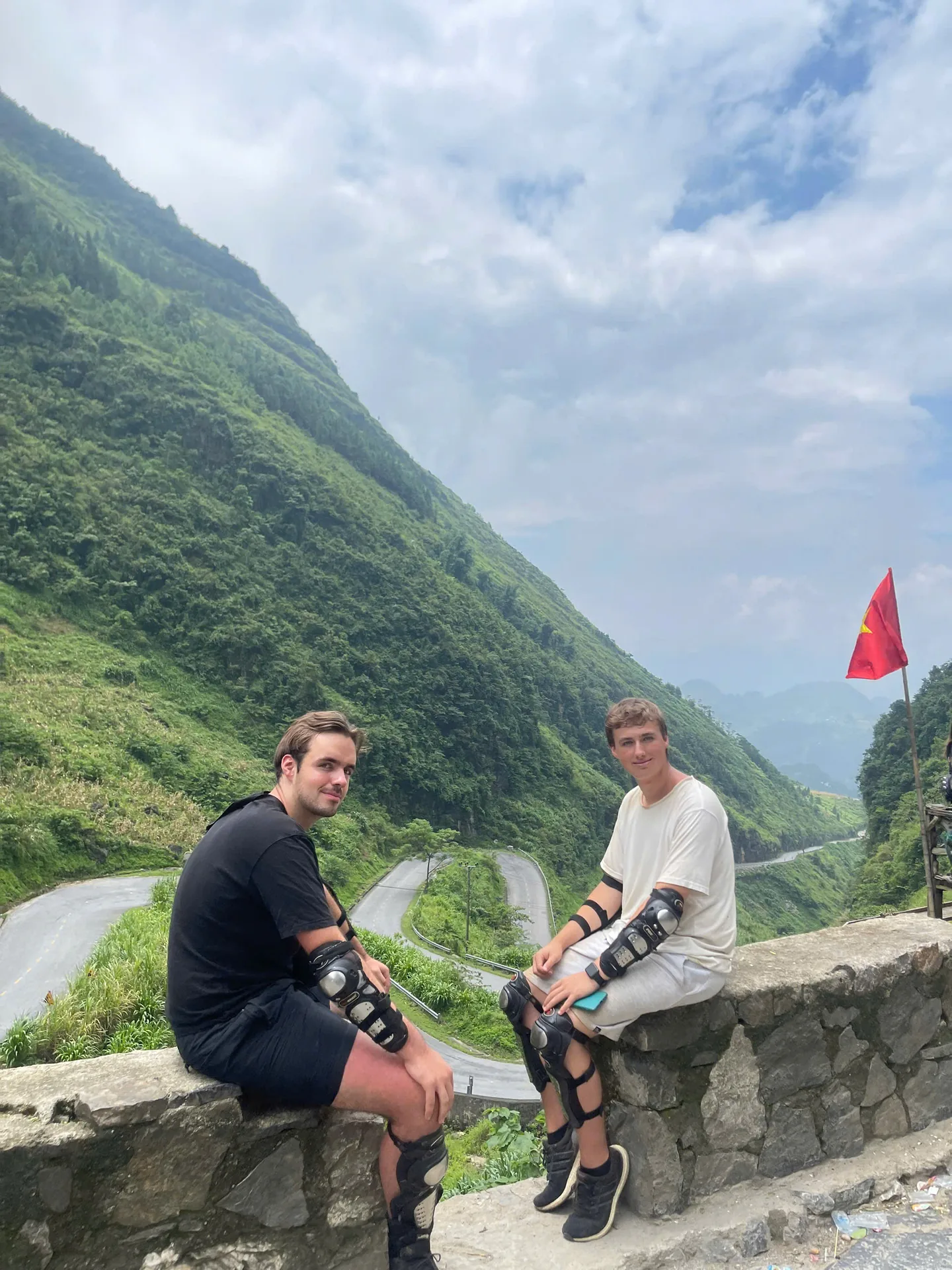
- Wear the helmet properly, and keep closed shoes and long trousers on even on hot days.
- Never stop on a blind bend for a photo. There is always a better pull-off a little further on.
- Fog, landslides and roadworks can close a section without warning. Our guides know the alternatives.
- Take your rubbish back to town, do not pocket fossils or stones, and stay behind the fences at viewpoints. The drop is real.
Final thoughts
The Dong Van Karst Plateau is the best reason to come to Ha Giang. It is also a working landscape, shaped by people for far longer than tourism has existed. Ride it slowly, stay with a family, ask questions, and the rock will give you a lot more than photos.
Ready to see it for yourself? Compare our 2, 3 and 4-day Loops in the pricing section, or message us on WhatsApp at +84 973 910 970 and we will help you pick the option that fits your licence, your riding experience and your dates.
More stories
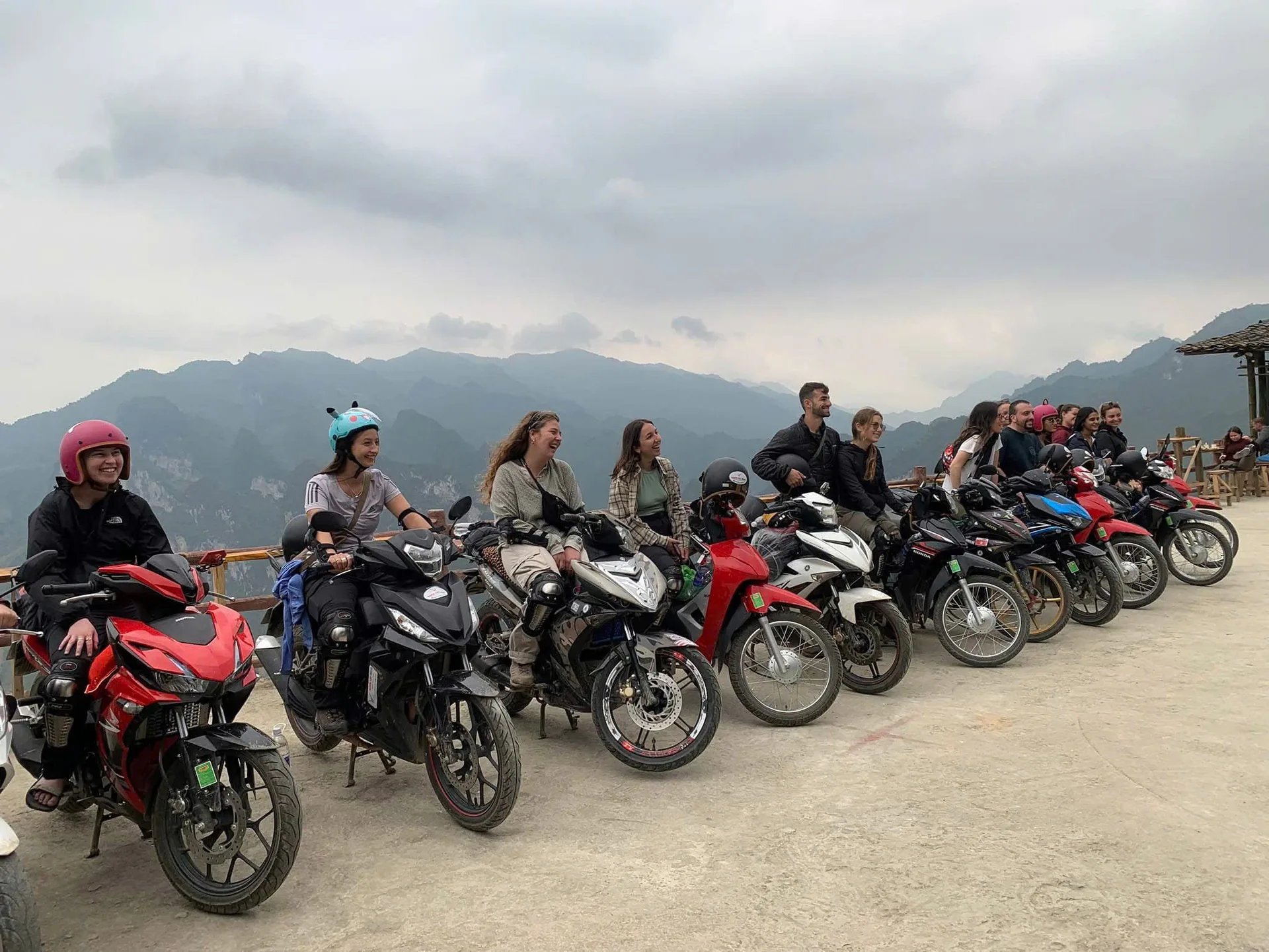
10 Aug 2026
Freedom Ha Giang Loop: Why Ride Vietnam's Mountain Road With Us
What a Ha Giang Loop with Freedom actually looks like: three ways to ride, small groups with their own guide, family homestays, proper gear, pick-up from Hanoi and a safety-first pace.
Read more →10 Aug 2026
Ha Giang Loop Adventures: A Complete Guide to Riding Northern Vietnam
Everything we tell our own guests before they ride the Ha Giang Loop: the route through the Dong Van Geopark, Ma Pi Leng and the Nho Que River, the people along the road, how many days to take, and whether to ride yourself or sit behind a local Easy Rider.
Read more →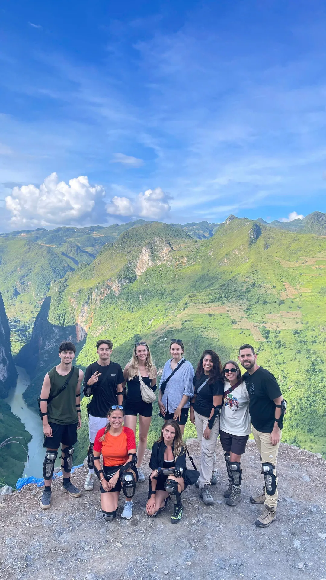
10 Aug 2026
Ha Giang Loop Deaths: The Safety Facts to Know Before You Ride
People do die on the Ha Giang Loop, and pretending otherwise helps nobody. Here is what actually goes wrong on these mountain roads, what the licence law says, and how to pick a way of riding that brings you home.
Read more →